US shipping Secure card payment Occult and esoteric books

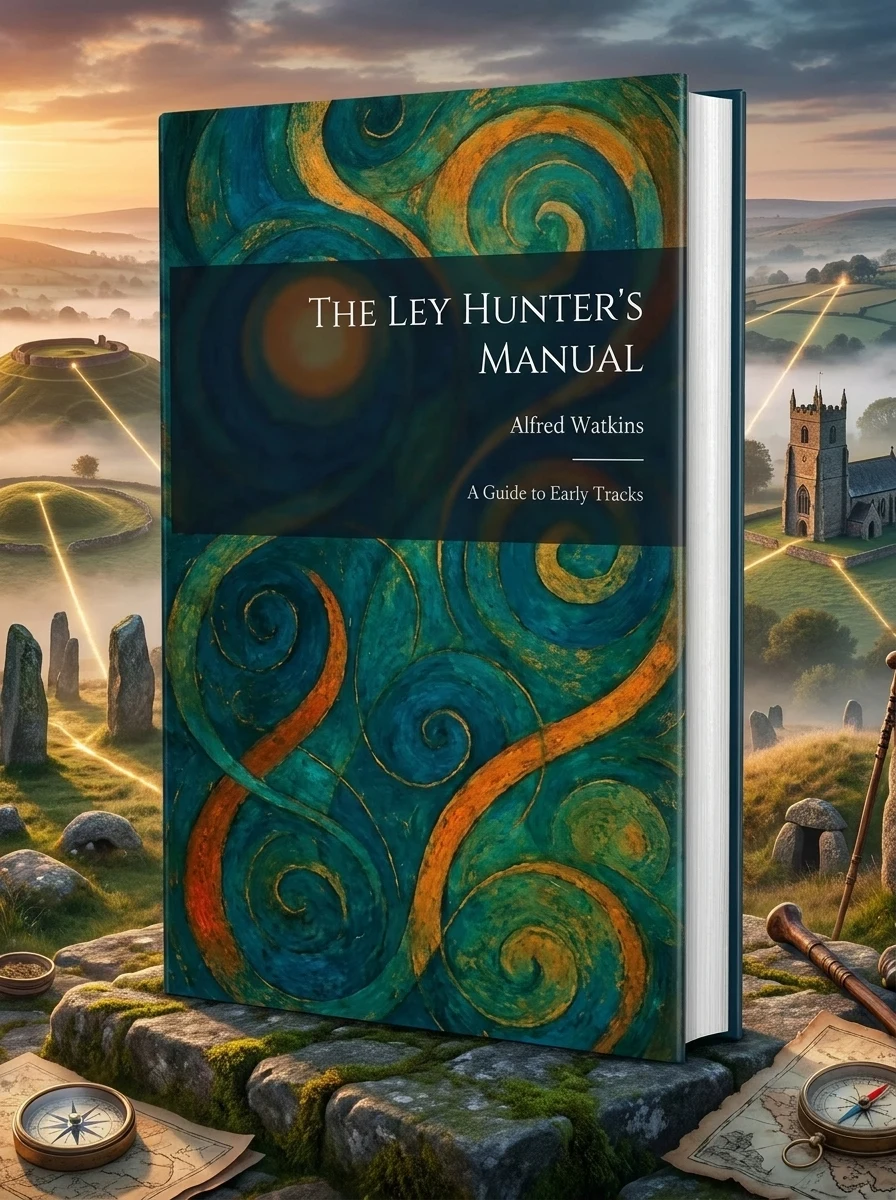
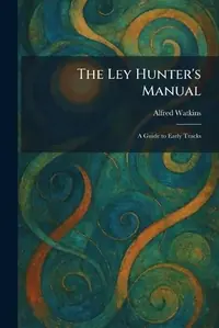
The Ley Hunter's Manual: A Guide to Early Tracks

Watkins, Alfred
Reader rating
4.6
(1 reviews) 81 sold
In stock

Stock reported in the catalog; fulfillment is confirmed with your request.

📚 ABOUT THE BOOK

Uncover the secret geometry weaving through ancient landscapes, guided by a pioneer's eye.

Alfred Watkins's "The Ley Hunter's Manual" is an essential guide to the enigmatic concept of ley lines—straight pathways linking prehistoric sites across the British terrain. Building upon his foundational theories from "The Old Straight Track," Watkins offers a practical methodology for identifying and charting these unseen arteries. This manual provides a systematic approach, illustrating how to trace "leys" using ancient landmarks such as burial mounds, megaliths, hill-forts, and venerable church locations. It bridges geography, archaeology, and local lore, suggesting these alignments were deliberate, serving ancient trade and navigation.

Key themes
Discovering Ancient Alignments Practical Field Exploration Landscape, Lore, and History
Historical context

This work emerges from the early twentieth-century revival of interest in British prehistoric antiquities and landscape archaeology. It sits within the esoteric tradition of seeking hidden geometries and ancient wisdom embedded in the physical terrain.


Difficulty
●● Moderate
Fans will love it
John Michell · Charles Pellegrini · The Old Straight Track
📜 Esoteric History
🏛 Tradd Street Press 📅 2026 📖 108 pages 🌐 en 📐 Paperback ISBN: 9781025798363
Fun fact
Watkins's "Manual" is a seminal, accessible text that provides a clear methodology for engaging with the landscape in a new way. It excels in guiding the reader through practical observation and mapping techniques. Those seeking definitive scientific proof might be disappointed, as its strength lies in inspiring inquiry and direct experience over empirical validation. This book remains a cornerstone for anyone exploring alternative archaeology and sacred geography, inviting a profound re-evaluation of our ancient past.

📝 Description: The Ley Hunter's Manual: A Guide to Early Tracks

"The Ley Hunter's Manual a Guide to Early Tracks" is a seminal work by Alfred Watkins that introduces the fascinating concept of ley lines-straight alignments of ancient sites across the British landscape. Following the groundbreaking theories established in his earlier work, "The Old Straight Track", Watkins provides a practical handbook for those seeking to identify and map these prehistoric pathways. The manual details the systematic approach to spotting "leys" using landmarks such as burial mounds, standing stones, hill-forts, and ancient church sites. Drawing on decades of observation and photography, Watkins explores the intersection of geography, archaeology, and folklore. He argues that these alignments were not mere coincidences but deliberate tracks created by early inhabitants for trade and navigation. This guide serves as both an instructional tool for the field researcher and a compelling exploration of the hidden geometry found within the English countryside. Ideal for enthusiasts of landscape archaeology, sacred geography, and British history, this work remains a cornerstone of alternative archaeology. It invites readers to view the natural and man-made environment through a lens of interconnectedness, revealing a sophisticated network of travel and ritual that dates back to the Neolithic and Bronze Ages. This work has been selected by scholars as being culturally important, and is part of the knowledge base of civilization as we know it. This work was reproduced from the original artifact, and remains as true to the original work as possible. Therefore, you may see the original copyright references, library stamps (as most of these works have been housed in our most important libraries around the world), and other notations in the work. This work is in the public domain in the United States of America, and possibly other nations. Within the United States, you may freely copy and distribute this work, as no entity (individual or corporate) has a copyright on the body of the work. As a reproduction of a historical artifact, this work may contain missing or blurred pages, poor pictures, errant marks, etc. Scholars believe, and we concur, that this work is important enough to be preserved, reproduced, and made generally available to the public. We appreciate your support of the preservation process, and thank you for being an important part of keeping this knowledge alive and relevant.

💎 Expert review

💎
Esoterica Books editorial team
Occult literature desk
Watkins provides a rigorous, almost technical framework for an otherwise mystical subject, appealing to those who prefer methodology over vague intuition. However, this manual may disappoint readers seeking purely spiritual or supernatural explanations without geographical grounding. It is also unsuitable for those with no interest in British topography or prehistoric history, as the content is deeply rooted in specific local landmarks and terrain analysis. Skeptics of alternative archaeology might find the premise too speculative, while casual readers may find the systematic charting dry. Ultimately, it serves best for dedicated practitioners ready to apply its precise criteria to their own explorations.
✓ EDITOR'S REVIEW

📖 Why choose it

📖

Why this book is worth reading

Readers fascinated by the intersection of landscape, history, and hidden knowledge will find this manual profoundly rewarding. It offers a practical toolkit for those who wish to see the British countryside not merely as scenery, but as a deliberate ancient map. By providing a systematic methodology for identifying ley lines through tangible landmarks like burial mounds and megaliths, it empowers the curious explorer to engage directly with local lore and geography. This book is ideal for walkers, amateur archaeologists, and esoteric enthusiasts who crave a structured approach to uncovering the secret geometry of the earth, transforming ordinary walks into journeys through time.

⭐ Reader reviews

The starting rating comes from the team Esoterica Books —
⭐ Esoterica editorial review Editorial rating 4.7/5
★★★★
If you're drawn to the hidden histories of the British Isles, intrigued by landscape mysteries, or seek a practical guide to uncovering ancient patterns beneath your feet, this foundational text is your indispensable companion. Embark on your own journey of discovery.

Reader rating

4.6
Based on 1 reviews
5
0
4
1
3
0
2
0
1
0
E
Esoterica Books editorial team

Watkins provides a rigorous, almost technical framework for an otherwise mystical subject, appealing to those who prefer methodology over vague intuition. However, this manual may disappoint readers seeking purely spiritual or supernatural explanations without geographical grounding. It is also unsuitable for those with no interest in British topography or prehistoric history, as the content is deeply rooted in specific local landmarks and terrain analysis. Skeptics of alternative archaeology might find the premise too speculative, while casual readers may find the systematic charting dry. Ultimately, it serves best for dedicated practitioners ready to apply its precise criteria to their own explorations.

❓ Frequently asked questions

Ley lines are theorized straight alignments of various ancient sites and prominent geographical features across the landscape, proposed by Watkins to be prehistoric trackways or markers for trade and navigation.
Not at all. Watkins wrote this as an accessible guide, providing all the necessary tools and systematic approaches for anyone interested in exploring the concept in the field, making it suitable for beginners.

📖 Who should read this

If you're drawn to the hidden histories of the British Isles, intrigued by landscape mysteries, or seek a practical guide to uncovering ancient patterns beneath your feet, this foundational text is your indispensable companion. Embark on your own journey of discovery.

🎯 Key themes and symbolism

Discovering Ancient Alignments

Watkins illuminates his revolutionary idea of "ley lines," presenting compelling evidence that numerous ancient British landmarks—from standing stones to sacred wells—are not randomly placed, but intentionally arranged in precise, straight pathways across the land. He proposes these alignments were functional, integral to early societal movement and communication.

Practical Field Exploration

This manual serves as a hands-on companion for aspiring ley hunters. It meticulously details how to identify, verify, and map these prehistoric tracks, offering a systematic framework for observation. Readers learn to discern the subtle clues in the landscape that reveal the hidden geometry of antiquity, encouraging direct engagement with the environment.

Landscape, Lore, and History

Watkins masterfully weaves together geographical analysis, archaeological insights, and local folklore. He explores how the physical landscape, ancient human activity, and enduring traditions intertwine, revealing a deeper, more intentional relationship between early inhabitants and their environment. The book challenges conventional views, urging a holistic understanding of heritage.

💬 Quotes from the book

“One cannot but observe, with a keen eye for the subtle undulations of the land, how frequently the ancient markers seem to fall into an almost mathematical precision of alignment.”

“The notion that our ancestors merely stumbled upon these arrangements diminishes their ingenuity. Rather, we must consider a deliberate, purposeful construction of a vast, interconnected network.”

📜 Historical context

Published in the wake of Watkins' groundbreaking "The Old Straight Track," this manual solidified the nascent field of "ley line" research. It positioned itself as a practical extension, inspiring generations of enthusiasts and researchers to reconsider the intentionality behind ancient monument placement, laying groundwork for alternative archaeology and sacred geography. Its impact endures, shaping how many perceive the ancient landscape.

📚 Glossary

Ley Line
Tumulus
Standing Stone

📔 Questions to reflect on

  1. Consider a familiar local landscape. What prominent ancient or historical features exist? Could they form any unseen alignments when viewed on a map or from a high vantage point?
  2. How might the concept of ancient, deliberate pathways alter your understanding of early human societies and their spatial intelligence or spiritual connection to the land?
  3. If ley lines were indeed ancient trade or navigation routes, what implications does this have for our modern understanding of 'connectivity' across landscapes, both past and present?

You might also like

See more →